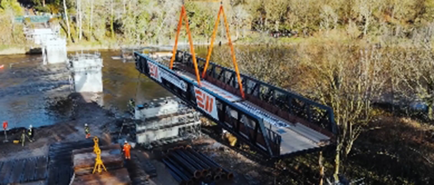
An aqueduct in Wales has been surveyed inside and out using pioneering technology that created a three-dimensional map of the structure’s natural and mad-made features.
The Canal and River Trust, a charity that safeguards historic waterways in England and Wales, commissioned the survey from Pell and Frischmann as part of the Vyrnwy Aqueduct’s restoration.
The remit included topographic, bathymetric, terrestrial and UAS survey of the aqueduct and its surroundings. Technologies deployed included LiDAR scanning, and photogrammetry, and single-beam echosounding. As well as using aerial drones to capture high-res imagery for photogrammetric modelling, Pell Frischmann surveyed the riverbed using a Seafloor TriDrone to carry out a scour assessment.
The historic structure takes the partially unnavigable Montgomery Canal over the River Vyrnwy, and its restoration is a key part of the waterway’s regeneration.